")
")
")
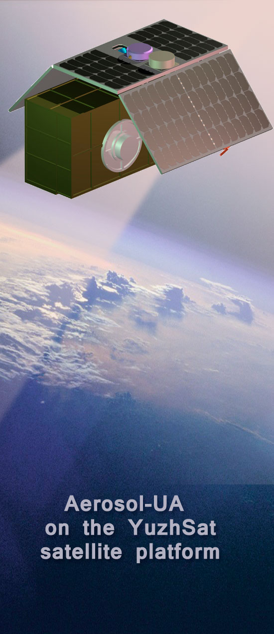
Space mission Aerosol-UA
Aerosol remote sensing in the terrestrial atmosphere
MISSION GOAL
The main aim of the space mission Aerosol-UA is creating a database using continuous measurements of the polarization characteristics of aerosol and cloud particles and their global distribution in the Earth’s atmosphere over a long period of time. The database is critical to determine the temporal and spatial distribution of the physical characteristics and chemical composition of tropospheric and stratospheric aerosols, as well as cloud particles in the Earth's atmosphere and evaluate their impact on weather, climate and the environment.
PROJECT FEATURES
- A significant improvement in the model parametrization of aerosols, their sources, transport mechanisms and processes of interaction with other components of the atmosphere;
- Obtaining reliable quantitative estimates of direct and indirect aerosol effects and their contribution to the energy balance of the climate system;
- Quantitative description of anthropogenic aerosols and their impact on climate and ecology.
MAIN OBJECTIVES OF THE MISSION
Providing coordinated space and ground-based photometric and polarimetric observations of tropospheric and stratospheric aerosols on a wide range of spatial and temporal scales:
- creating a database of observational data based on high-precision measurements of the Stokes I, Q, U parameters for a large number of scattering angles in several spectral bands;
- solving the inverse problem of remote sensing and restoring the characteristics of aerosols and clouds (optical thickness, size distribution, chemical composition, volume concentration, particle shape) with the required accuracy;
- monitoring the temporal and spatial distribution of the physical characteristics of tropospheric and stratospheric aerosol and cloud particles in the Earth's atmosphere.
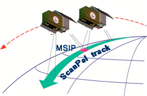
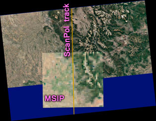
The project concept of a remote sensing is based on accurate orbital measurements of the intensity and polarization of sunlight scattered by the atmosphere and the Earth’s surface using a scanning polarimeter in tandem with a wide-angle multi-spectral imaging polarimeter.